
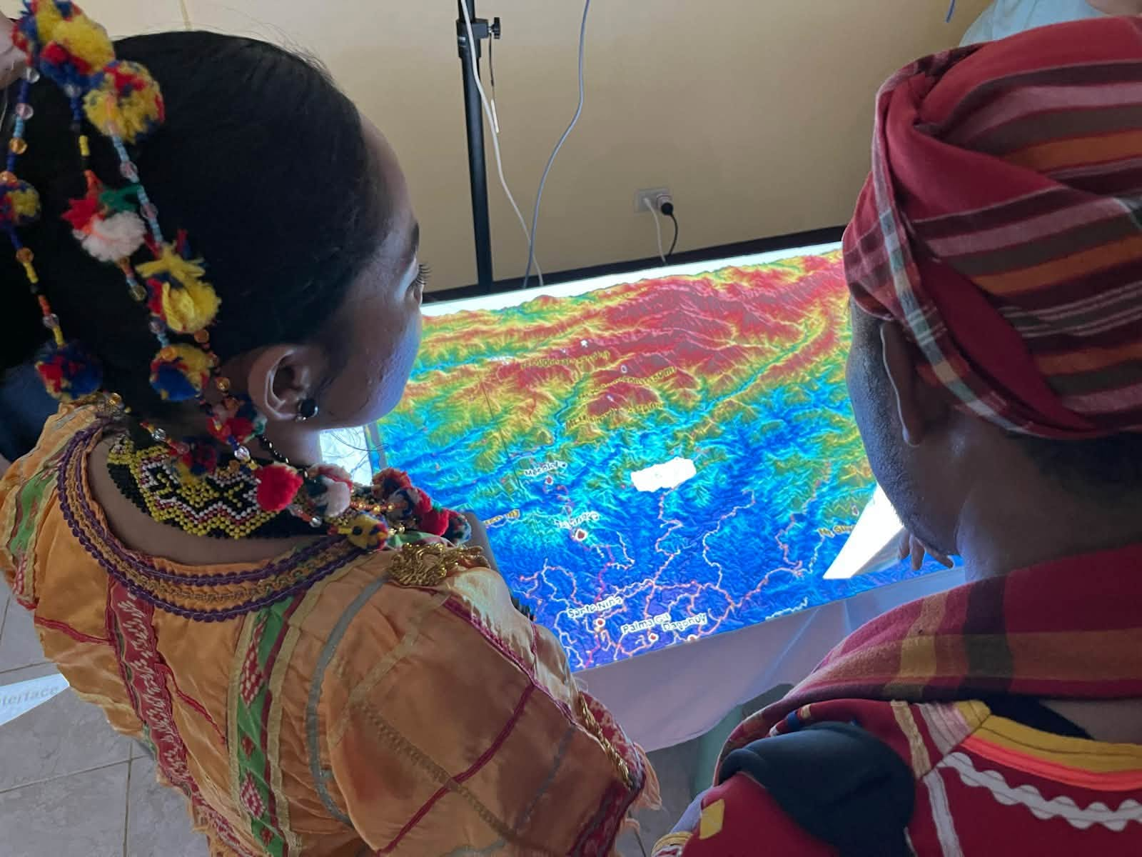
Indigenous participants examine a Projection Augmented Landscape Model (PALM), a 3-D representation of terrain with projected digital information, during Katutubo: Guardians of Ancestral Domains at the Philippine Eagle Center in Davao City, Oct. 30, 2026. The models are designed to help communities visualize ancestral landscapes and integrate Indigenous knowledge into land-use planning and conservation. (DAVAO TODAY Photo/Ian Peter C. Guanzon)
3D maps shift power over land stories to Indigenous communities
DAVAO CITY, Philippines—Maps have long been used to draw boundaries, rename territories and dispossess Indigenous peoples. Researcher Rohan Fisher uses mapping technology for a different purpose: to help Indigenous communities…