
DAVAO CITY, Philippines – The Office of Civil Defense (OCD) is verifying reports of 19 deaths and seven missing persons following a magnitude 7.8 earthquake that struck Southern Mindanao in the early morning of June 8.
OCD spokesperson Junie Castillo III confirmed the agency is validating 11 deaths in Region 12 and three in the Davao Region.
“These are initial reports we received, and we’re verifying these numbers through the management of dead and missing clusters. Regarding evacuated families, there are already 10,000 recorded,” Castillo said.
General Santos City, which is near the epicenter of the quake which is off its coast in Sarangani, was hit hardest. By 4 p.m., operations at General Santos Airport were restricted to government, military, and humanitarian flights, while all commercial services remained cancelled. Electricity and water are still slowly being restored in various areas as of 6 p.m. Monday.
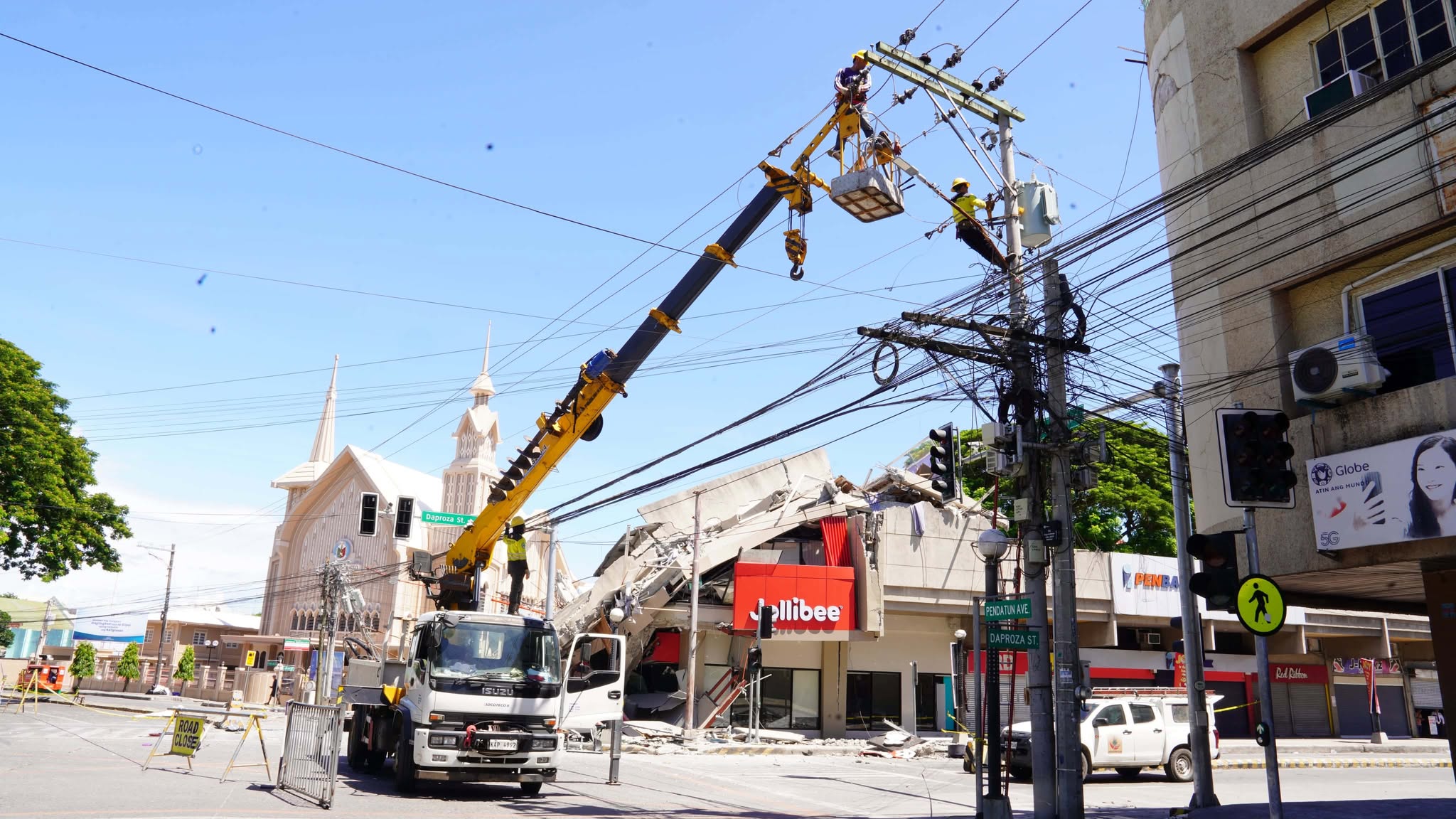
Various structures collapsed in the city, including a building in the Notre Dame of Dadiangas University Basic Education unit in Lagao, and a building in Fitmart that housed a Jollibee fastfood and a transmitter for three radio stations under Manila Broadcasting Company.

Shaken
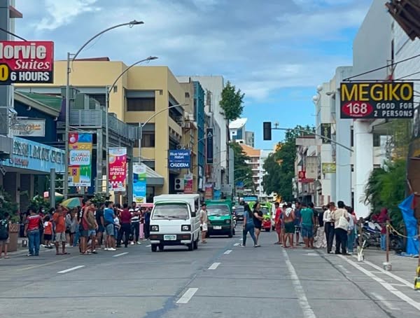
Residents across Mindanao, shaken by the quake that struck in the early hours, described the jolt as the strongest they have felt in recent memory.
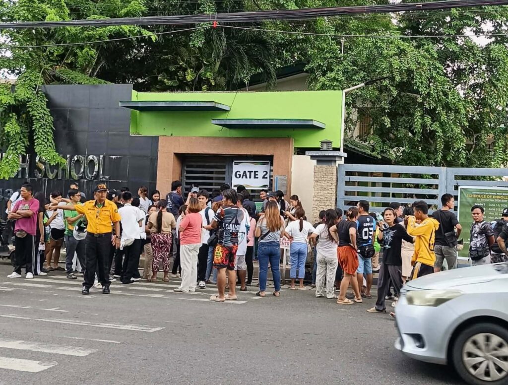
The tremor occurred just as public schools opened for the 2026-2027 academic year, forcing the suspension of classes across all levels in several provinces as a precautionary measure against potential damage from ongoing aftershocks.
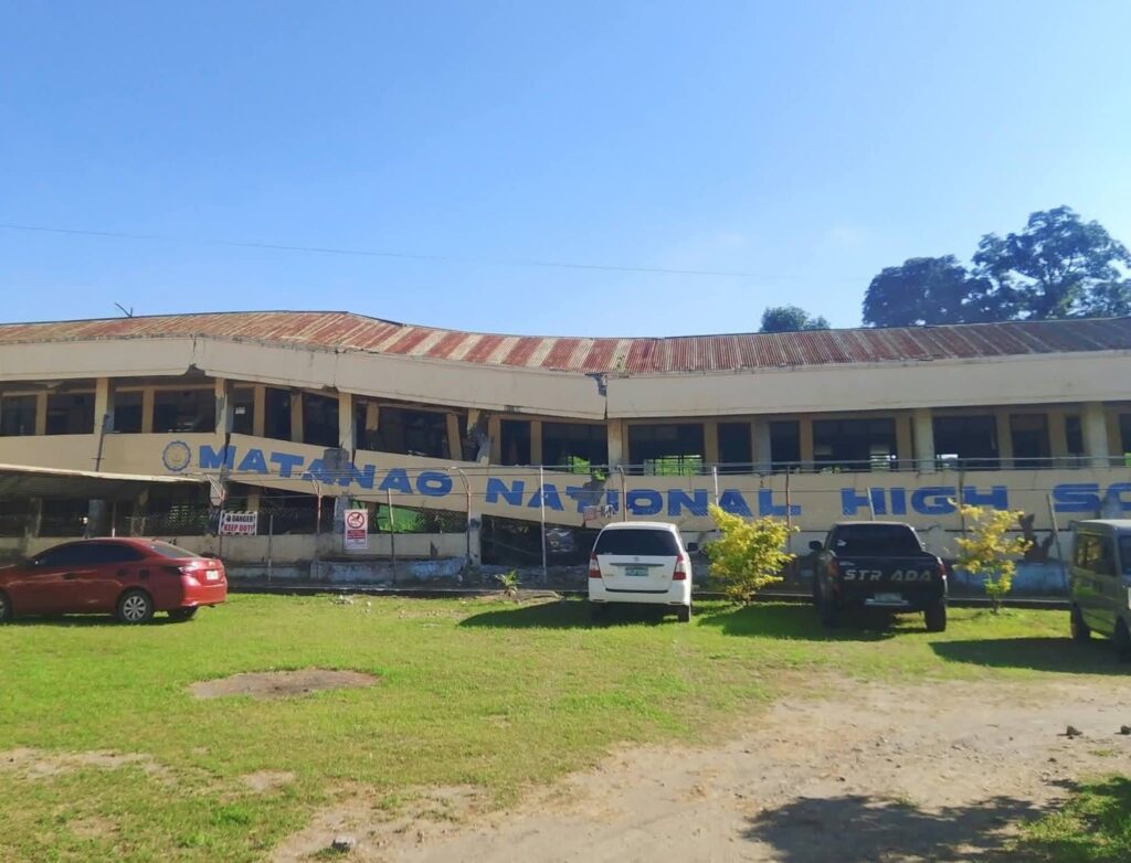
Video clips of panicked students in various places in Davao Region had been posted on social media. The collapse of a dilapidated building in Matanao National High School in Davao del Sur was captured on video of the school’s official page.
Sophia, 20, a student from Holy Cross of Davao College, recounted the panic as her family scampered out of their house, unsure of what to do. “The trauma of past earthquakes came flooding back,” she told Davao Today, admitting, “I was so scared.”
Jobert Fabiano, 19, a Matina resident and vendor, described rushing out of his home during the initial tremor, thinking it would subside. However, a subsequent aftershock sent him fleeing once more.
Despite the fear, he attempted to resume business. “I was nervous, but I continued to sell,” Fabiano said. “We hoped for more customers, but the streets were deserted; people had been ordered back home due to the quake.”
The ground shook
Cotabato writer and filmmaker Teng Mangansakan recounted his experience during the earthquake in a Facebook post, describing how he and fellow workshop participants felt the tremor while having breakfast on the ground floor of the hotel when the floor suddenly began to move. Chandeliers swayed, lights flickered, and the tremor steadily intensified.
“I could feel the walls awakening, as though some immense creature had stirred from a long sleep deep beneath the earth,” Mangansakan wrote. “Around the room, everyone struggled to maintain their composure.”
He said someone from a corner shouted “Allahu Akbar,” invoking the familiar words as both prayer and shield against the uncertainty unfolding around them.
“Antagal ng lindol” (The earthquake lasted a long time), observed Diandra, voicing the disbelief shared by all present.
As the shaking stretched time into something elastic, Mangansakan attempted jokes to steady his nerves. Then, as abruptly as it began, the earth settled. The chandeliers slowed to a stop. Conversations resumed in cautious fragments.
“Only after the tremors had passed did our phones vibrate in unison,” he said. “The SMS alert arrived belatedly, informing us of an earthquake as if we had not already felt the earth announce it in its own unmistakable language.”
Tectonic Trench Rupture
Dr. Marco Aurelio, writing for Rappler.com, attributed the earthquake to a rupture within the intricate network of tectonic trenches encircling Mindanao Island. He explained that while the region is bounded by three active subduction zones: the Sulu Trench to the west, the Philippine Trench to the east, and the arcuate Cotabato-Sangihe Trench system wrapping the south and southwest.
It was likely the northern segment of the Sangihe Trench or the southern portion of the Cotabato Trench that failed, generating the magnitude 7.8 tremor offshore General Santos City. Dr. Aurelio is a PhD professor at the National Institute of Geological Sciences, University of the Philippines (UP NIGS).
Initial PHIVOLCS reports registered the earthquake at magnitude 7.0, while global networks recorded magnitudes between 8.0 and 8.2—more than 30 times more powerful in energy release. As additional data were collected, PHIVOLCS upgraded its estimate to 7.8 while global networks downgraded to match.
Both local and global networks subsequently revised focal depths from an initial shallow 10 kilometers to approximately 40 kilometers.
Seismological analysis notes that the energy released by a magnitude 8.0 earthquake is about 33 times greater than that of a magnitude 7.0 event. With the current magnitude estimate of 7.8, the earlier PHIVOLCS reading of 7.0 underestimated energy release by approximately 23 times, while the initial global reading of 8.1 overestimated it by roughly fivefold.
In a Monday morning press briefing, Winchelle Ian Sevilla, Chief of the Seismological Observation and Earthquake Prediction Division at PHIVOLCS, confirmed to reporters that the Cotabato Trench was responsible for the devastating 1976 Moro Gulf earthquake and tsunami—the deadliest seismic event in Philippine history. That catastrophe claimed approximately 8,000 lives and left an estimated 90,000 people homeless across Mindanao, with significant property damage recorded in Cotabato and Zamboanga cities.
Sevilla urged residents in coastal areas, particularly those under tsunami alerts, to remain vigilant and strictly adhere to emergency protocols issued by their local disaster risk reduction and management offices (DRRMOs).
Tsunami warning lifted
The Philippine Institute of Volcanology and Seismology (PHIVOLCS) cancelled the tsunami warning for Southern Mindanao at 3:19 p.m., confirming that observed waves were too small to cause damage following a magnitude 7.8 earthquake offshore Sarangani.
While monitoring stations recorded waves up to 1.48 meters in Kiamba, the agency declared the immediate threat over after two hours of observation.
“This will be the final tsunami information issued for this event,” PHIVOLCS stated, urging residents to stay alert for aftershocks and natural warning signs like sudden seawater retreat.
According to PHILVOCS, more than 150 aftershocks have been recorded as of 5 pm since shortly after the earthquake.(davaotoday.com)


