
By Ervince Apatan
The harassment perpetrated by the Chinese Coast Guard (CCG) toward the Filipino Navy and fisherfolks shows continued tension over the territorial claim between us and China over the West Philippine Sea (WPS).
Recently on June 18, a Filipino Navy lost his fingers after a Chinese vessel rammed over them in Ayungin Shoal. This ship, China Coast Guard 5901, is called the “Monster Ship” as it is considered the world’s largest coast guard vessel, which is closely patrolling WPS as a way of asserting China’s dominance and claim on this sea.
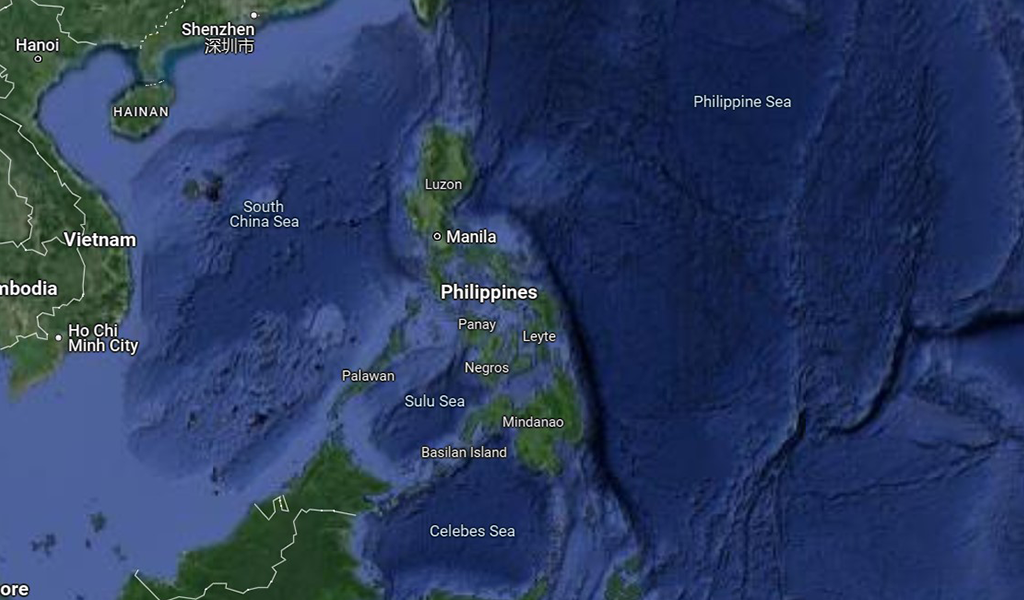
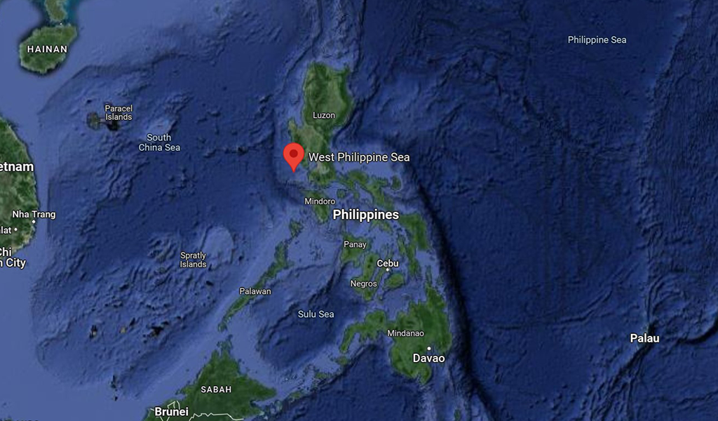
As the Chinese government asserts its territorial claim over WPS, one should notice that even in Google Maps, the West Philippine Sea is off its radar.
Try searching the West Philippine Sea on Google Maps and it will only present an inaccurate and very limited area of the WPS close to mainland Luzon. In actuality, the WPS massively stretches up to the Kalayaan Group of Islands and Scarborough Shoal. But Google Maps shows that part of the territory within WPS is a part of the South China Sea.
It is not only on Google Maps that the WPS is not being labeled, as even historical textbooks fail to do so. These labels are so subtle that barely anyone mentions this, and this is exactly the reason why this can be alarming.
Maps are part of ideological state apparatus, an idea forwarded by French Marxist Louis Althusser, which alters the perception of people towards state territories, and thus gives birth to misconceptions among the people. It is a tool used by imperialist countries to assert dominance regarding territorial claims, and exploit the resources that are encapsulated within a territorial boundary.
The Philippines, being an archipelago. is home to rich marine resources and wildlife. The country has the third largest coral reef area in the world, and the West Philippine Sea covers around 30% of the country’s coral reef area with 464,000 hectares. Around 27% of the fish in the country’s marine industry are found in WPS, estimated to have 1.94 million metric tons of tuna, squid, serving an important role in the country’s marine industry. However, due to the rich biodiversity of the country, several imperialist countries have made their moves to assert control over our resources, such as the continuous harassment being faced right now in the WPS. The West Philippine Sea territorial issues are nothing new as this has been an ongoing issue being faced for several decades, and yet no administration has effectively been able to alleviate the issue.
The West Philippine Sea being unnoticeable on maps disseminated all over the world is another imperialist agenda in order for rich nations to boldly assert their claims over our territory, shaping the perception of people all over the world, making a myth that China controls the sea that is rightfully ours to begin with.
This is why it is important for the administration to create an initiative to reassess the maps that have been circulating such as the ones in textbooks and in the tourism industry. New maps should be made that debunk colonial territorial claims over our territory, and such materials should emphasize the rightful territorial scope of the West Philippine Sea. As these imperialist countries wanted to manipulate the perception of the people regarding territorial claims, it is important for us to rightfully assert our territory in order to protect our sovereignty.
Ervince Apatan is a contributor of Davao Today, currently studying BS Anthropology at the University of the Philippines Mindanao.
China, philippines, west philippine sea