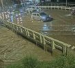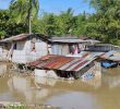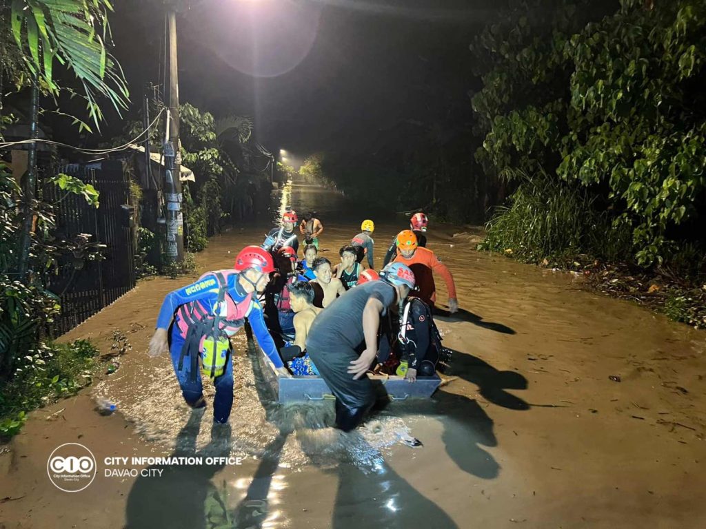
DAVAO CITY, Philippines – Almost 200,000 people all across Davao Region have been affected by floods and landslides brought by heavy rain since Tuesday, January 16.
The region’s Office of Civil Defense (OCD-XI) reported that the three-day downpour due to the shear line weather affected a total of 44,888 families or 187,108 individuals.
Shear line, according to the Philippine Atmospheric, Geophysical and Astronomical Services Administration (PAGASA), is the convergence of the cold northeast monsoon wind and the warm wind from the Pacific Ocean that triggers rain.
Hundreds of families vacated their homes and stayed in various evacuation centers. Data from OCD-XI as of 4 pm Tuesday showed 336 families or 1,332 people in Davao de Oro are staying in evacuation centers, while there are 110 families or 468 individuals in Davao Oriental. Twenty families or 100 individuals in Davao Occidental also evacuated but have already returned to their homes.
Barangay Cambanogoy, Asuncion, Davao del Norte has been placed under state of calamity due to the floods. Meanwhile, the Davao del Norte Provincial Government is set to declare a state of calamity in the whole province as six towns, two cities, and 79 barangays are affected by floods. Some 47,376 families or 244,981 individuals have been affected in Davao del Norte alone.
Eight roads are reportedly “not passable to all types of vehicles” due to rain-induced landslides. These are the national roads in Brgy. Camanlangan, New Bataan town, Brgy. Rizal, Monkayo town, Brgy. Sawangan, Mawab town and Brgy. Bahi, Tupas, and Paloc, in Maragusan town including the provincial road in Brgy. Aragon and So Hulip, Cateel town.
Two bridges are not passable to all types of vehicles, including the San Pedro Bridge in Caraga, Davao Oriental which was totally damaged. Another bridge, the Fatima Bridge in Fatima, New Bataan is not passable.
Classes at all levels in both public and private schools were suspended in 34 municipalities since Tuesday while work was suspended in 24 municipalities.
Davao City has also suspended classes in all public and private on Tuesday and Thursday.
As of 5:36 pm, January 18, weather bureau PAGASA issued an extreme General Flood Advisory for the region, forecasting moderate to occasionally heavy rains and thunderstorms. It advised people living near the mountain slopes and in low-lying areas as well as the concerned Local Disaster Risk Reduction and Management Councils to take appropriate actions.
The Davao City City Disaster Risk Reduction and Management Office has declared Code Red on January 18, 9 pm in the following areas in Davao City due to the rising floodwater and river brought by heavy rainfall: Talomo River along Brgy. Tugbok Proper, Davao River along Brgy. Tamugan, Lasang River along Brgy. Pañalum and Bunawan River along Brgy. Bunawan Proper River Channel.
Watercourses likely to be affected included Davao Oriental’s Cateel, Dapnan, Baganga Mahan-ub, Manorigao, Caraga, Casaunan, Quinonoan, Bagwan, Mayo, Bitanayan, Sumlog, Tangmoan, Dacongbonwa, Kabasagan, Manay, Maya and Sumlao/Cuabo; Davao De Oro’s Matiao and Hijo; Davao Del Norte’s Tagum-Libuganon, Tuganay, and Saug; Davao Del Sur’s Davao, Lasang, Bunawan, Matina, Talomo, Lipadas, Tagulaya Sibulan, Digos, and Padada Mainit; and Davao Occidental’s Panglan, Malita, Batanan (Lais, Lawan, Latuan, Calian, Lamita, Lawayon, Culama, Caburan Bi, Maubio, Karabana, Tubayo, Kayapung, Malala, Capisolo, Tanoman Bi, Tanoman Smal, Kalbay, Butua, Nuin, Butula, Baki, Malagupo, Balagona, Batulaki. (davaotoday.com)
davao region, disaster, flood, shear line
